Localziation, Path Planning and Lane Racing
Robotics Science and Systems
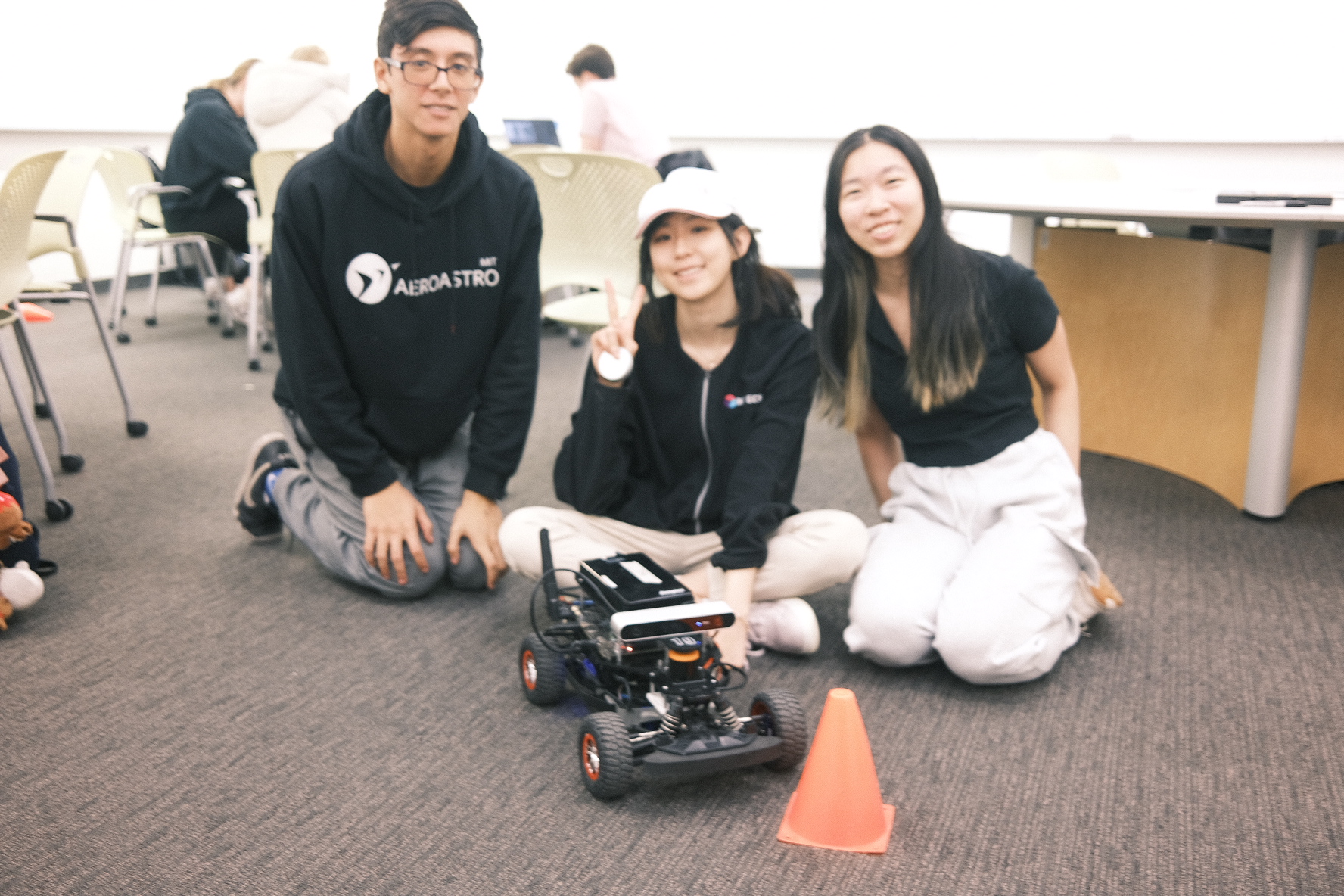
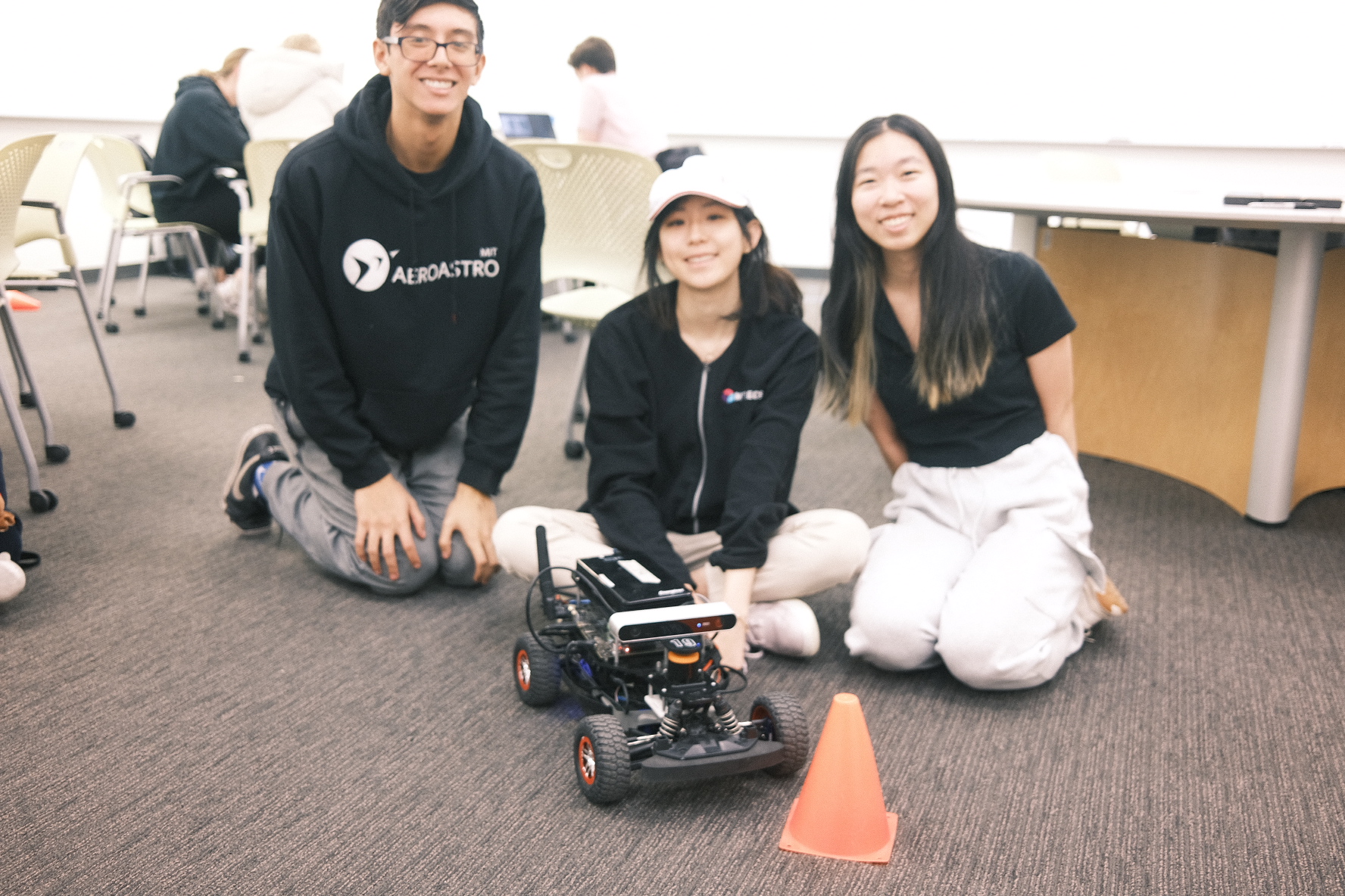
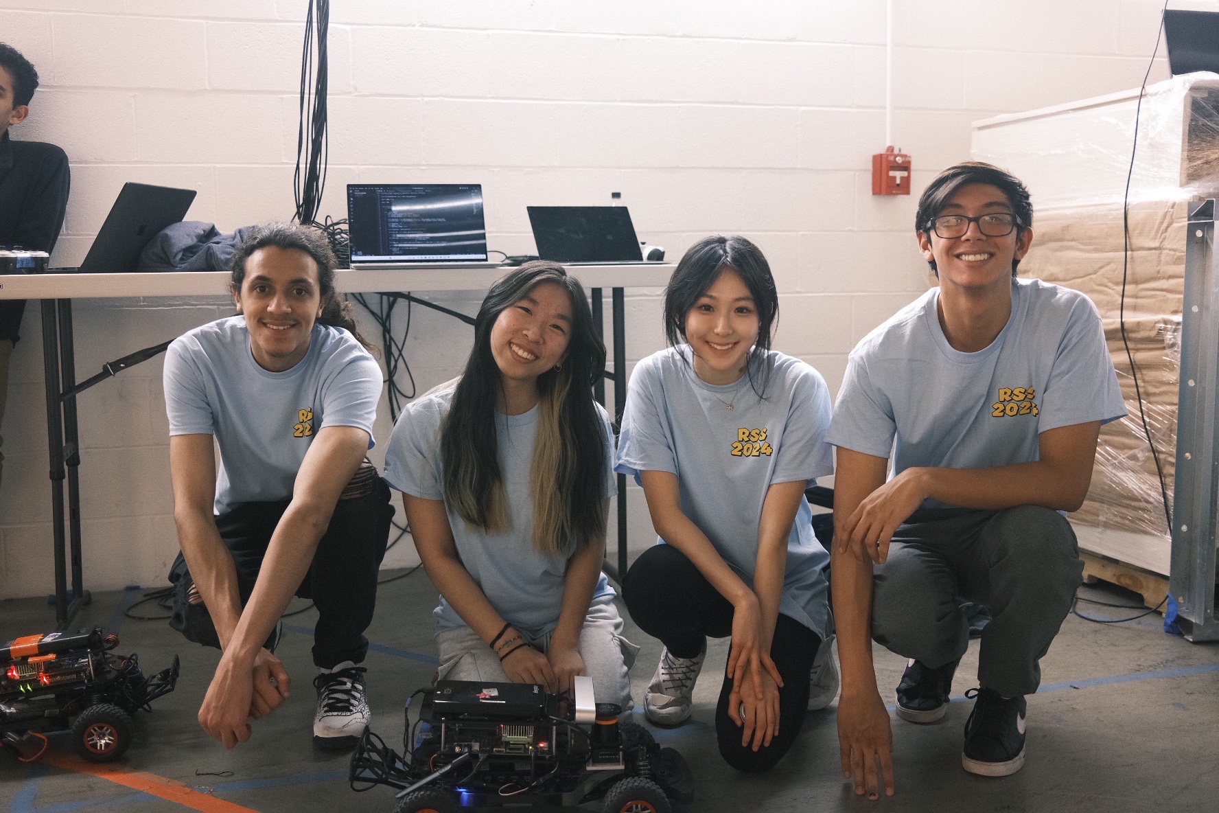
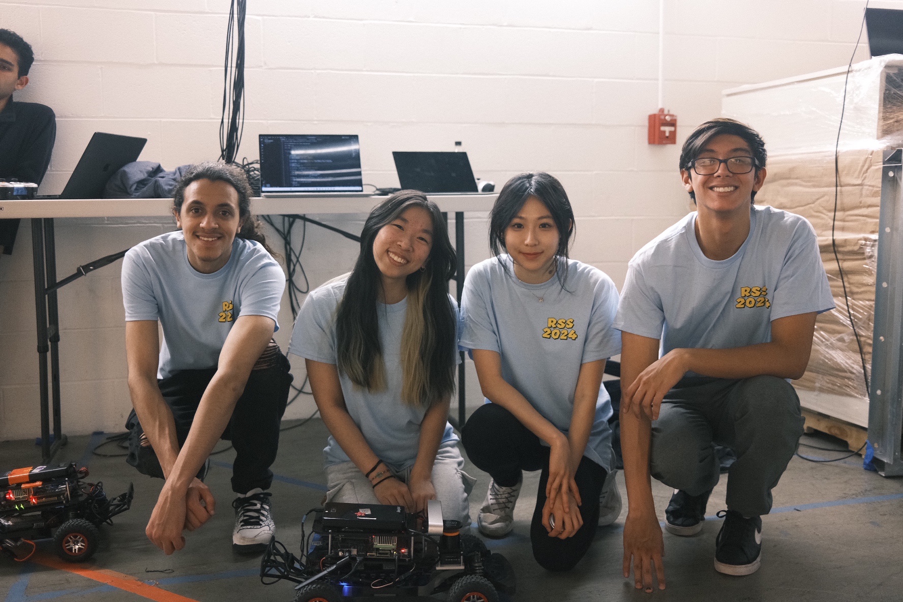
My co-parents of racecar 19, RSS Team 2.
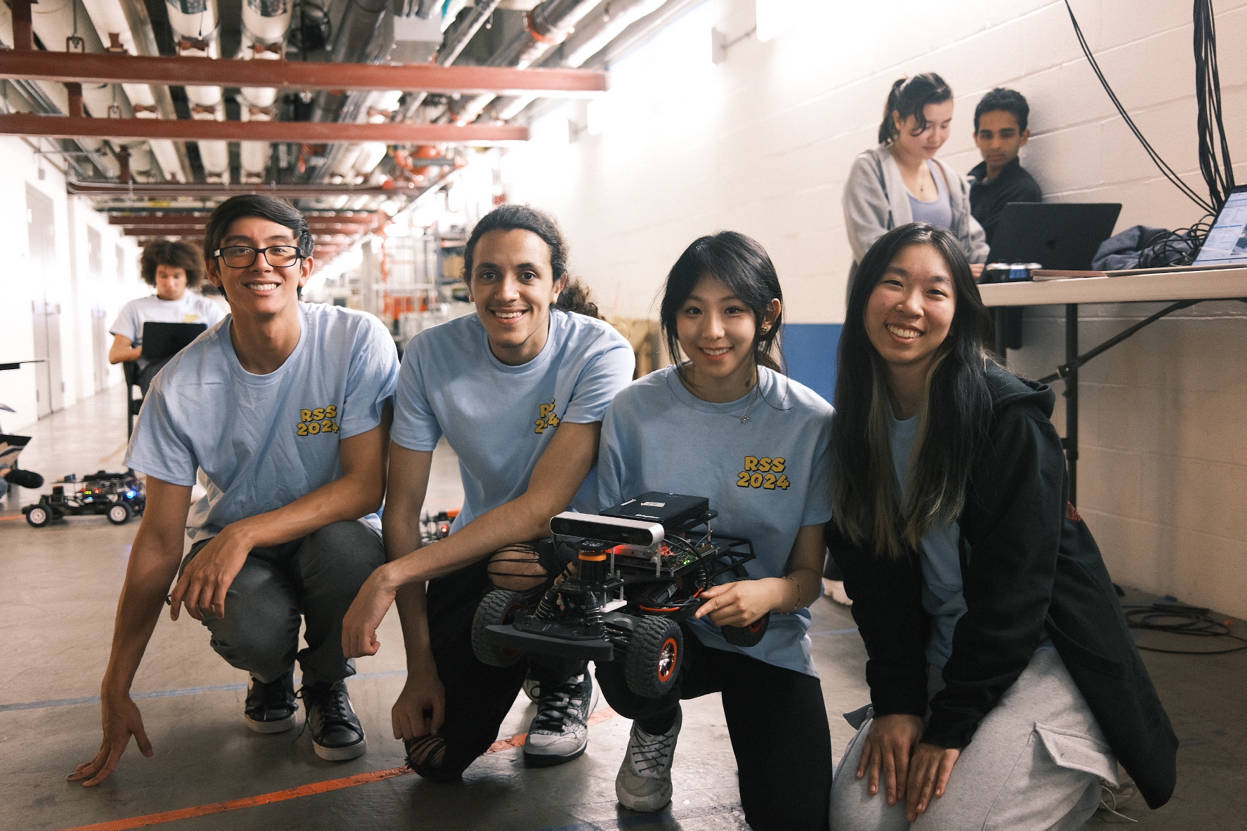
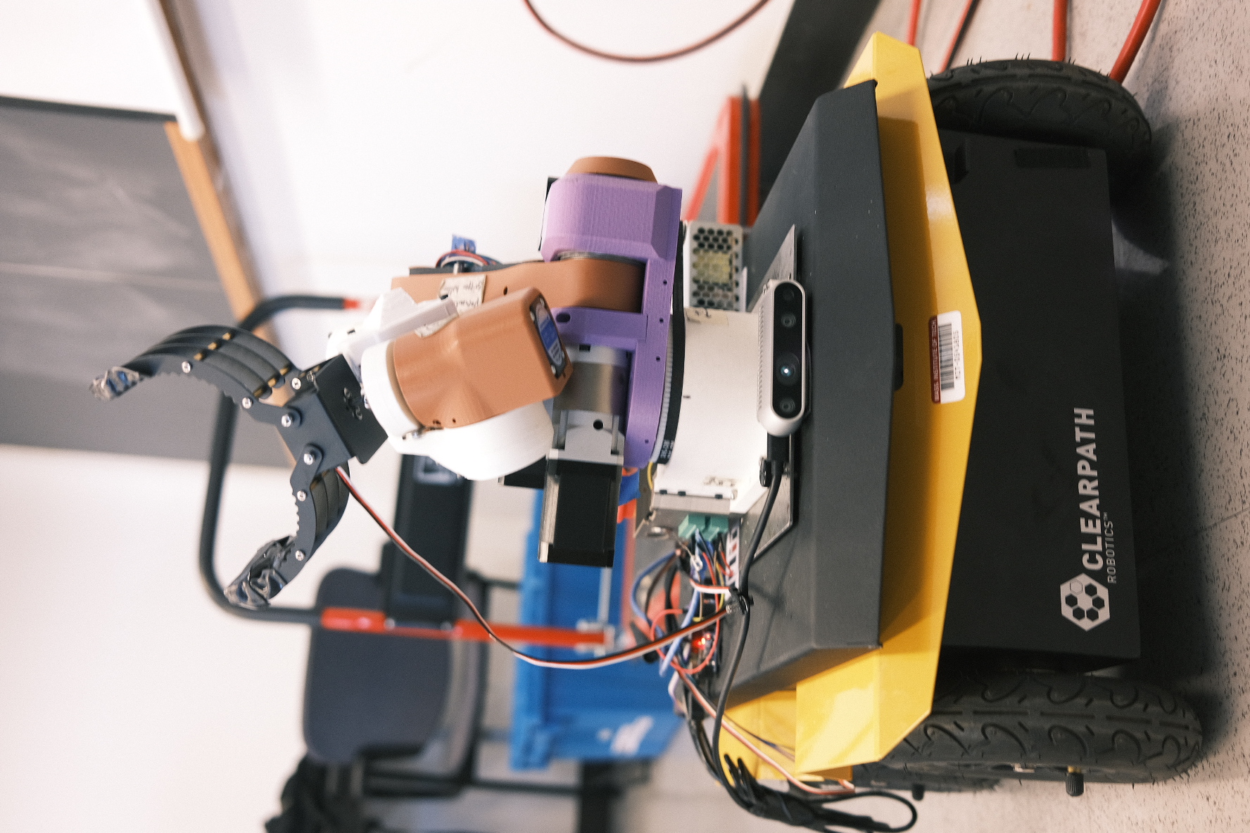
For the Robotics Science and Systems class, we implementeed several key functions used in robotics systems today such as localization with particle filters, path planning with A*, pure pursuit line following, and other computer vision functions.
The diagram below shows how these pieces connect on the car.
Figure: Data flow on the racecar — a particle filter localizes against the map, A* plans a path to the goal, and pure pursuit steers the car along it as new scans close the loop.
The line-following step relies on a simple geometric rule, sketched below.
Figure: Pure-pursuit geometry — the controller intersects a circle of radius L around the car with the planned path, then commands the arc through that lookahead point (curvature 2x/L², where x is the point's lateral offset from the car's heading).
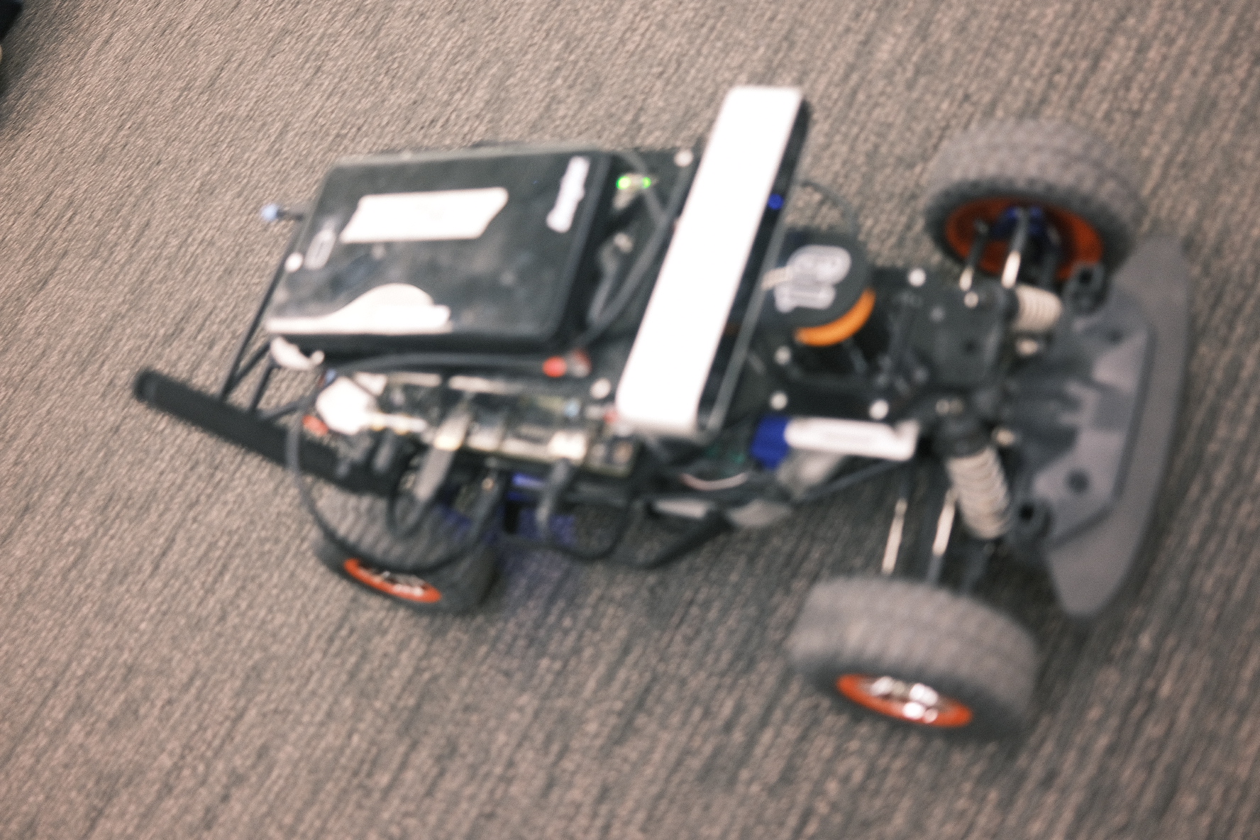
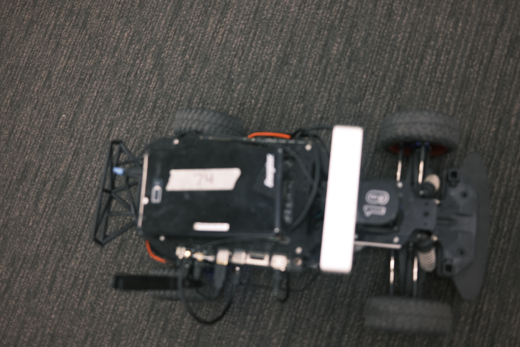
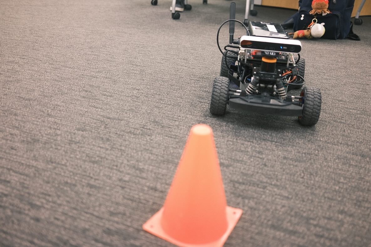
Here’s a demonstration of robot using color segmentation to park in front of a orange cone.
Download report on Localization
Download report on Path Planning